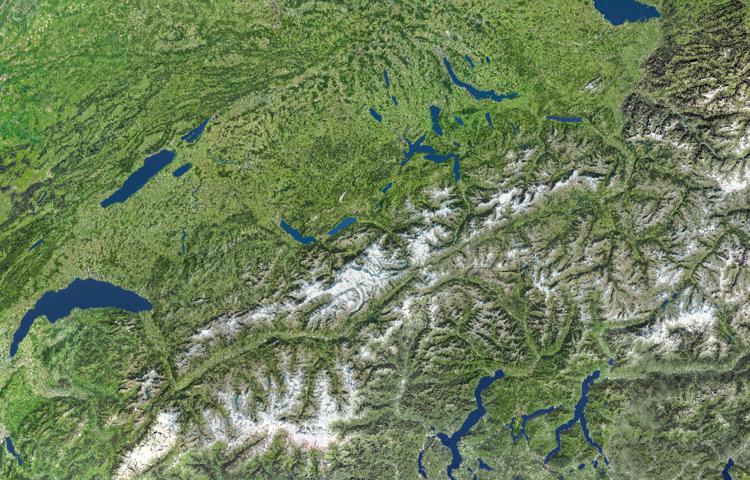
Atlas of Switzerland - Logo

Menu

Skip to content
  • Home
  • News
  • Maps
  • Portfolio
  • Publications
  • Download
  • en
    • Deutsch
    • Français
    • Italiano
    • English

Satellite image

Satellite image

Wednesday December 6th, 2017 / Raimund Schnürer / No Comments

Basemap

View map in the atlas

Satellite image

Tags: Basemaps, Background
Spatial extents: World, Switzerland
Times: 2004, 2010

Previous Post: Emerald sites: valuable habitats with a unique fauna and flora
Next Post: Glacier extension during the Last Glacial Maximum (Würm period)
© 2019 Atlas of Switzerland | Institute of Cartography and Geoinformation, ETH Zurich | Contact | Status | Twitter | YouTube