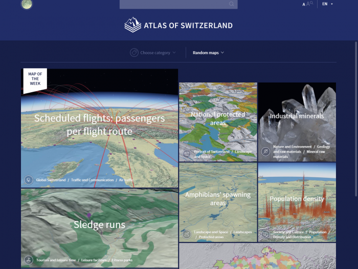
Atlas of Switzerland – online

The Atlas of Switzerland – online is based on an updated collection of already existing map topics from former editions, e.g. geology in category Nature and Environment. In parallel, the list of existing thematic topics will be completed by new categories, e.g., History and Future. As a main visualization principle, a map should be presentable […]

Read More

Atlas Platform Switzerland – APS

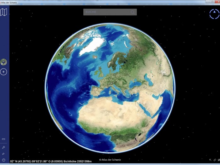
As described in the Concept of the Atlas of Switzerland, the new product line will be based on APS, a dedicated platform to create interactive 3D atlases. The core of this APS – the so-called APSglobe – consists of a 3D virtual globe (osgEarth) with basic tools for navigation, visualization, and querying.

Read More

Atlas of Switzerland 3

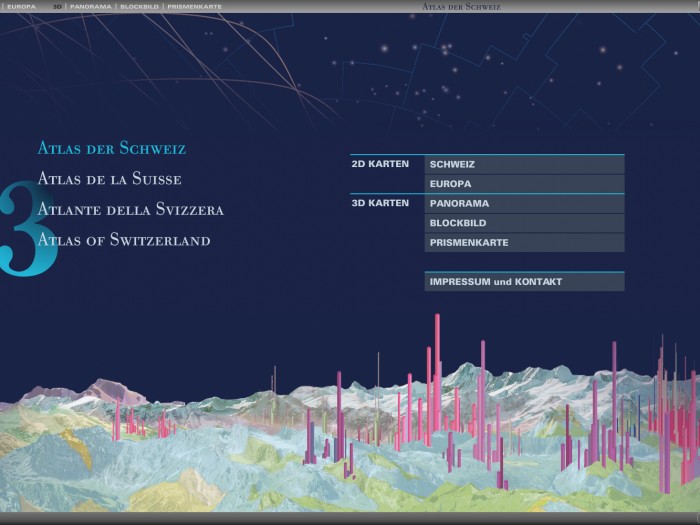
The third version of the digital Atlas of Switzerland (AoS 3) on DVD was introduced in 2010. It is best characterized as a high-level enhancement of the previous version. For AoS 3, the thematic topics from AoS 2 were updated. Furthermore, data for three new topics, Energy, Traffic, and Communication were added.

Read More

Atlas of Switzerland 2

The second version of the digital Atlas of Switzerland (AoS 2) substituted the AoS 1 and was further improved by extending its functionality and adding new thematic data. 650 maps from the new field of Nature and Environment were added; overall, the atlas now comprised about 1 000 map themes.

Read More

Atlas of Switzerland 1

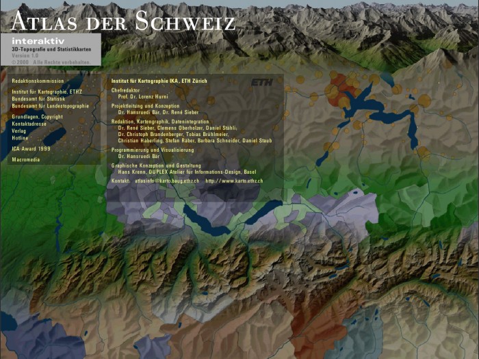
An entirely new digital edition of the Atlas of Switzerland was published on CD-ROM in 2000 in four languages: German, French, Italian and English. Conceptually, the atlas used two visualization sections: classic 2D maps and 3D topographic maps.

Read More

Atlas of Switzerland – Print

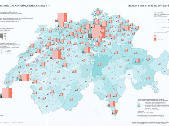
The Atlas of Switzerland, the official Swiss National Atlas – was initiated in 1961 by a decision of the Swiss federal government, which bestowed the editorship on the Institute of Cartography of ETH Zurich.

Read More