Atlas of Switzerland - Logo

Menu

Skip to content
  • Home
  • News
  • Maps
  • Portfolio
  • Publications
  • Download
  • en
    • Deutsch
    • Français
    • Italiano
    • English

Category: Maps

207 maps found

Depth maps for selected lakes

Monday July 24th, 2023 / Luca Gaia / No Comments

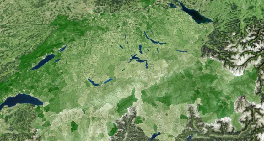
‘Reversed’ municipalities: Allocation of residents based on inhabitable area

Thursday February 2nd, 2023 / adsadmin / No Comments

Permanent crops as a percentage of farmland

Friday April 8th, 2022 / adsadmin / No Comments

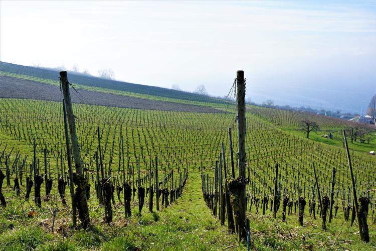
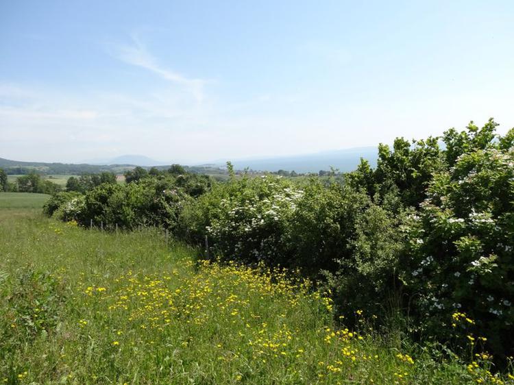
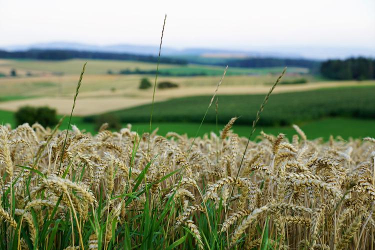
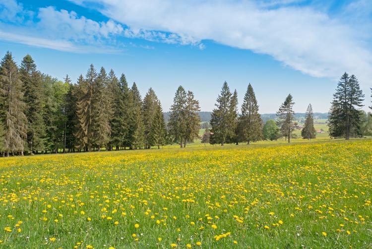
Other utilised agricultural areas as a percentage of farmland

Friday April 8th, 2022 / adsadmin / No Comments

Open arable land as a percentage of farmland

Friday April 8th, 2022 / adsadmin / No Comments

Predominant utilised agricultural area

Friday April 8th, 2022 / adsadmin / No Comments

Grassland as a percentage of farmland

Friday April 8th, 2022 / adsadmin / No Comments

Utilised agricultural areas per farm

Friday April 8th, 2022 / adsadmin / No Comments

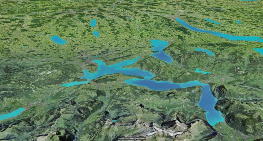
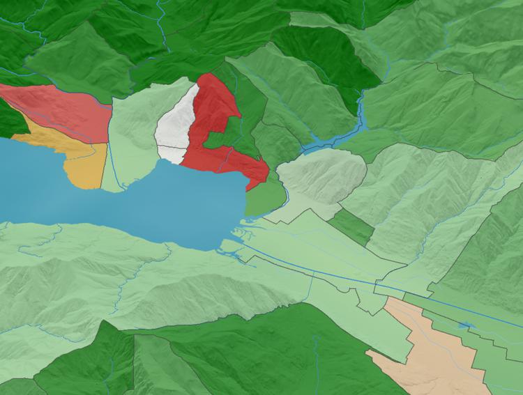
Glacier extension during the Last Glacial Maximum (Würm period)

Friday April 8th, 2022 / adsadmin / No Comments

Hydro power plants: energy production

Tuesday March 18th, 2025 / Luca Gaia / No Comments

Post navigation

Older posts
© 2025 Atlas of Switzerland | Contact | About us | Imprint | Status | Instagram | Twitter | YouTube