Sviluppo storico della popolazione dei comuni svizzeri (1200-1850) 15 March 2023 / adsadmin / Nessun Commento
Comuni “scambiati”: Allocazione degli abitanti in base alla superficie abitabile 2 February 2023 / adsadmin / Nessun Commento
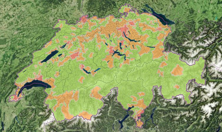
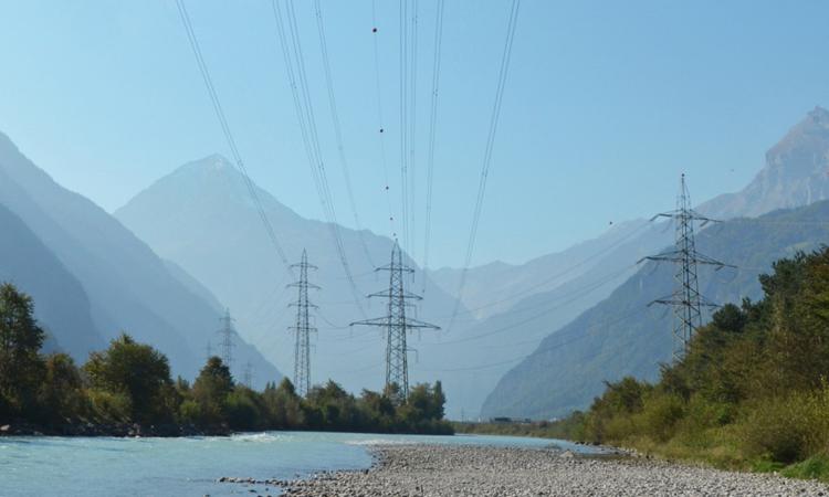
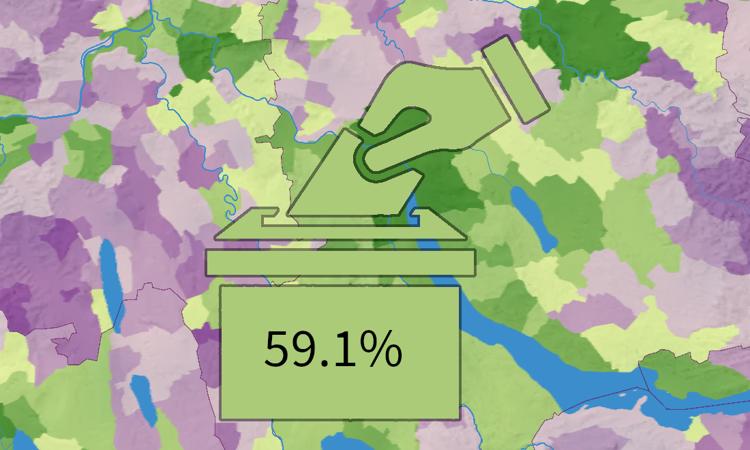
Referendum «Legge federale sugli obiettivi in materia di protezione del clima, l’innovazione e il rafforzamento della sicurezza energetica» 5 May 2025 / Luca Gaia / Nessun Commento