Menu
Skip to content
Home
News
Maps
Portfolio
Publications
Download
en
Deutsch
Français
Italiano
English
Category: Maps
Search
73 maps found
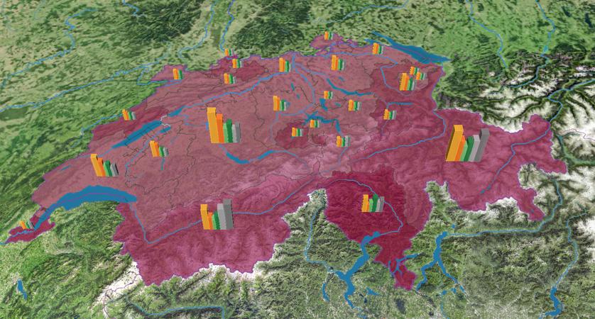
Loss of cultivated land in Switzerland since 1912
Friday April 8th, 2022
/
adsadmin
/
No Comments
Agglomerations: population density (1930-2000)
Friday April 8th, 2022
/
adsadmin
/
No Comments
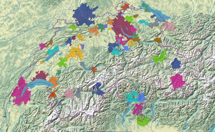
Agglomerations of Switzerland (1930 – 2000)
Friday April 8th, 2022
/
adsadmin
/
No Comments
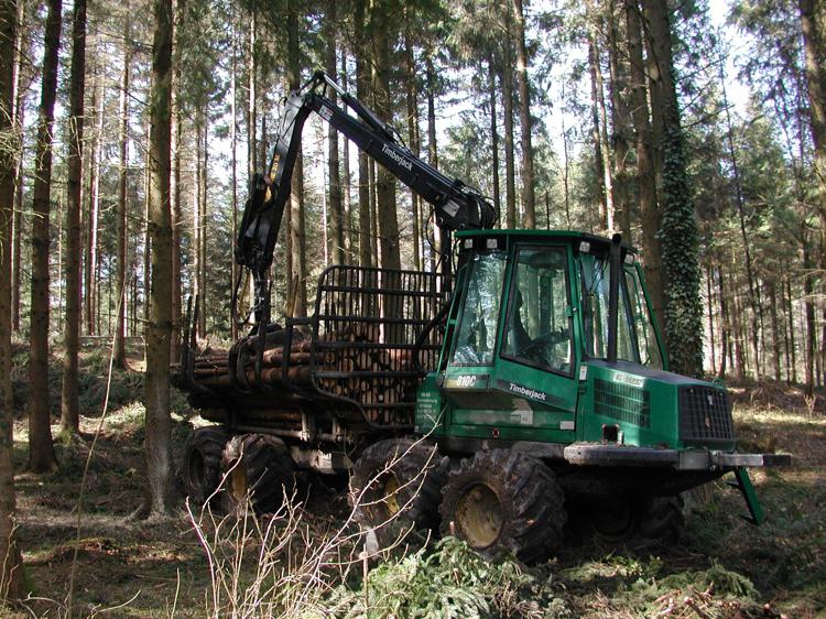
Establishments in the forestry
Friday April 8th, 2022
/
adsadmin
/
No Comments
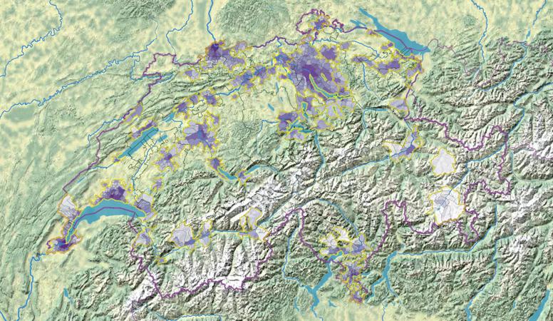
Degree of urbanisation of the communes
Friday April 8th, 2022
/
adsadmin
/
No Comments
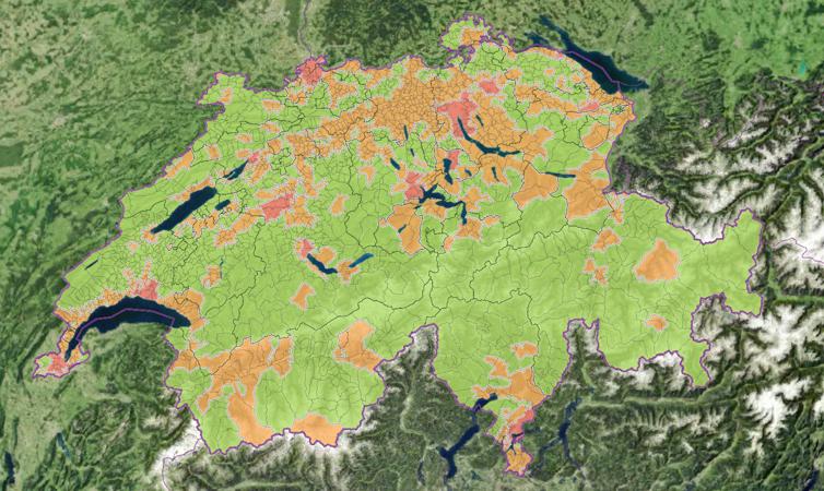
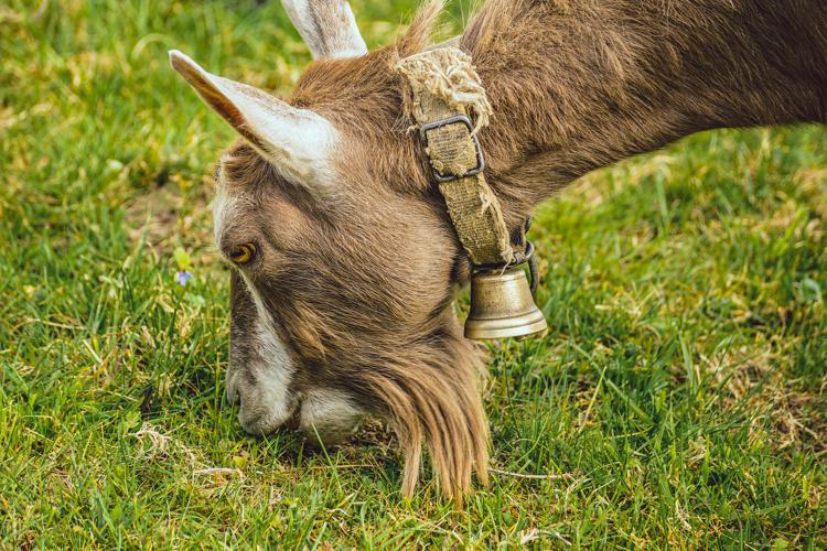
Share of farms with goats
Friday April 8th, 2022
/
adsadmin
/
No Comments
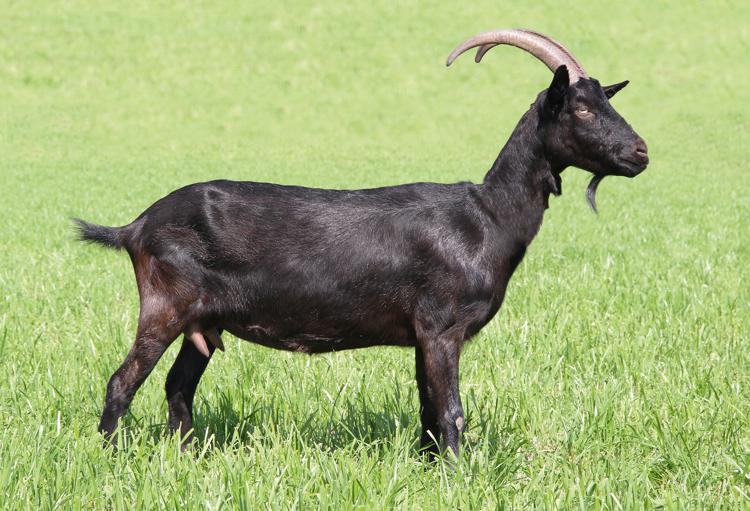
Number of goats
Friday April 8th, 2022
/
adsadmin
/
No Comments
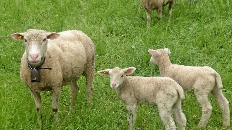
Average sheep inventory per sheep owner
Friday April 8th, 2022
/
adsadmin
/
No Comments
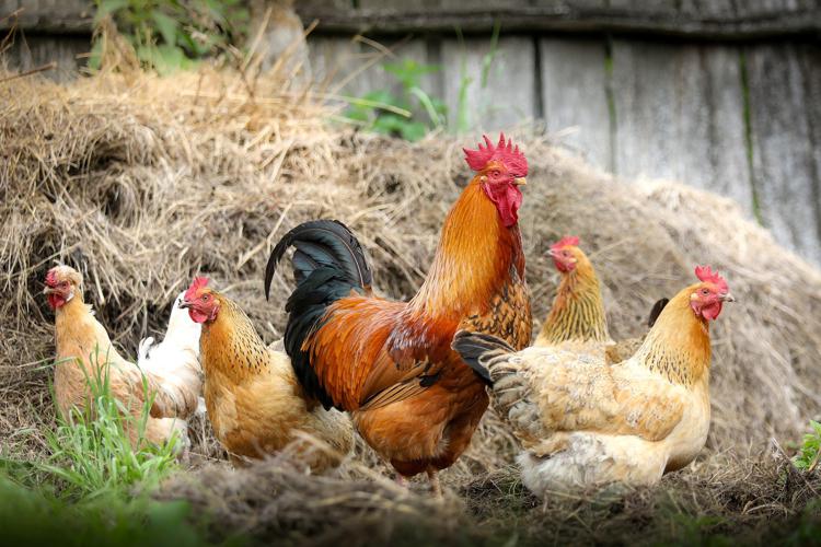
Average poultry inventory per poultry owner
Friday April 8th, 2022
/
adsadmin
/
No Comments
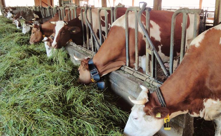
Share of farms with cattle
Friday April 8th, 2022
/
adsadmin
/
No Comments
Post navigation
Older posts
Newer posts