Atlas of Switzerland - Logo

Menu

Skip to content
  • Home
  • News
  • Maps
  • Portfolio
  • Publications
  • Download
  • en
    • Deutsch
    • Français
    • Italiano
    • English

Category: Maps

218 maps found

Agglomerations: population density (1930-2000)

Friday April 8th, 2022 / adsadmin / No Comments

Agglomerations of Switzerland (1930 – 2000)

Friday April 8th, 2022 / adsadmin / No Comments

Service stations

Friday April 8th, 2022 / adsadmin / No Comments

Number of flight passengers according to mode of transport

Friday April 8th, 2022 / adsadmin / No Comments

Number of flight passengers by type of transport

Friday April 8th, 2022 / adsadmin / No Comments

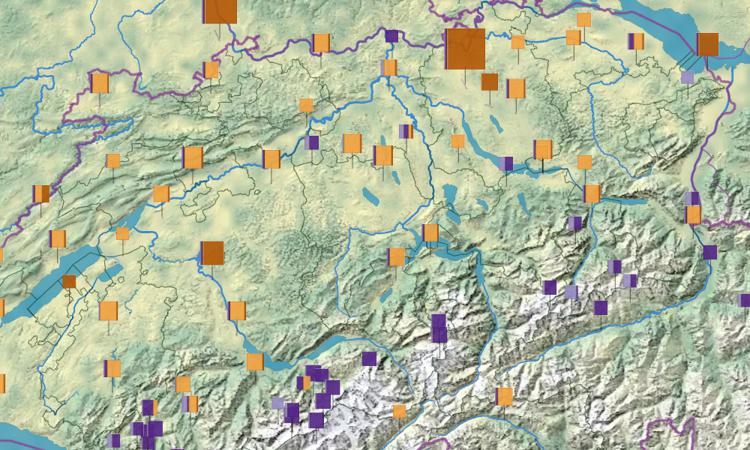
Number of flight movements according to mode of transport

Friday April 8th, 2022 / adsadmin / No Comments

Number of flight movements according to type of transport

Friday April 8th, 2022 / adsadmin / No Comments

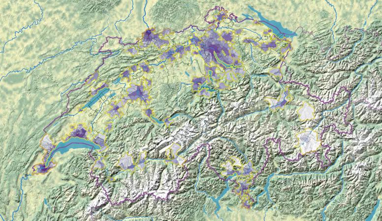
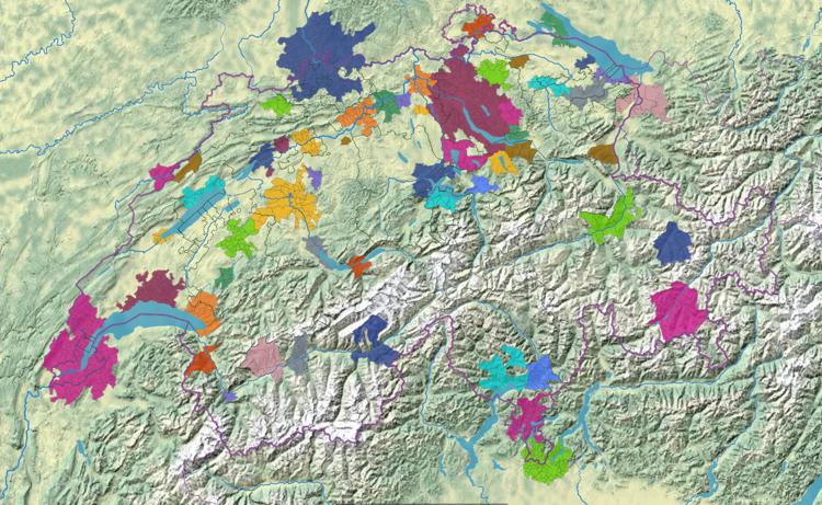
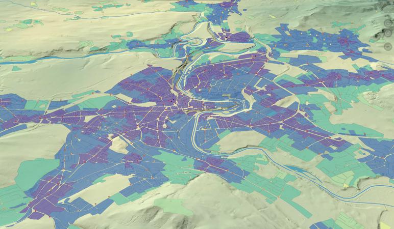
Public transport ratings: exploitation of the building zones

Friday April 8th, 2022 / adsadmin / No Comments

Post navigation

Newer posts
© 2025 Atlas of Switzerland | Contact | About us | Imprint | Status | Instagram | Twitter | YouTube