International Cartographic Conference
The Atlas of Switzerland team looks back on a successful participation at the 32nd International Cartographic Conference (ICC) in Vancouver, held from August 17–22. We had the opportunity to exchange ideas with cartographers from all over the world and to present the latest developments of the Atlas.
Andreas Neumann presented the current status of the new Atlas of Switzerland Web, which will run inside a modern web browser as well as on mobile devices. This version is scheduled for a soft release in November and will then be continuously improved (slides of the presentation).
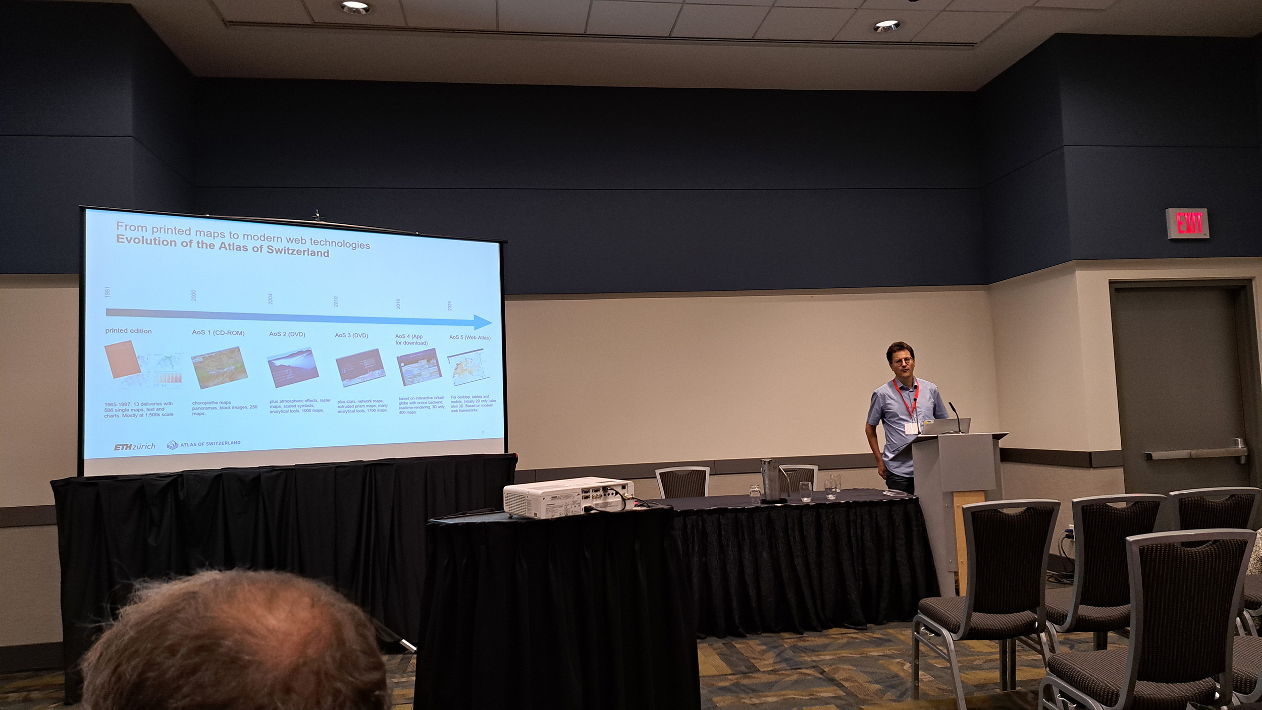
Presentation about the current status of the new Atlas of Switzerland Web (Image: Lorenz Hurni)
Christian Wohlert presented his work on the digitization of historical railway data and their interactive visualizations, which will become a future theme in the Atlas of Switzerland. The definitive release of this theme will still take a few more months, since technical improvements in the temporal visualization of the Atlas of Switzerland are still necessary for the publication of this topic.
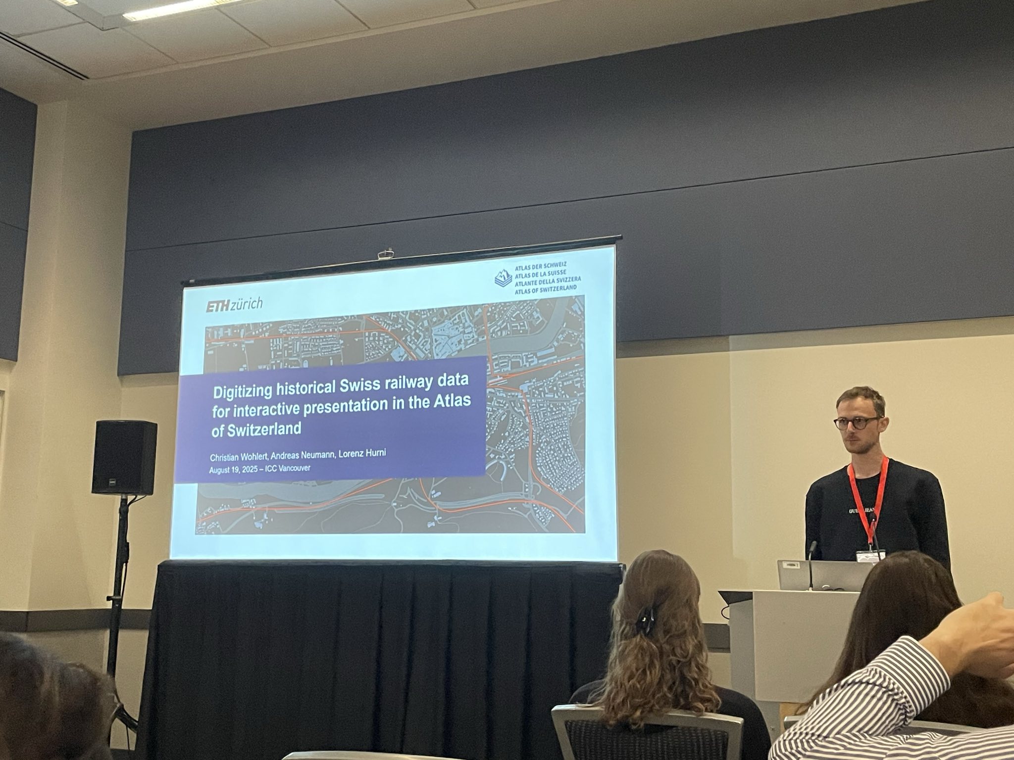
Presentation about the digitization of historical railway data and their interactive visualizations in the Atlas of Switzerland at ICC (Image: Aline Wildberger).
Our presentations received very positive feedback and showed that we are on the right track with the Atlas of Switzerland. The conference also provided an excellent opportunity to learn about the latest developments in the world of cartography and to further expand our international network. A major topic was the role of artificial intelligence – a theme that will also be incorporated into future versions of the Atlas of Switzerland.
We would also like to mention the contributions of our colleagues from the Institute of Cartography and Geoinformation at ETH Zurich: Professor Lorenz Hurni presented the history of cartography at ETH Zurich as well as results from research on automated terrain representation.. Aline Wildberger from the Swiss World Atlas presented a semi-automated workflow for producing cartographically high-quality isolines, and Stefan Räber introduced a new website on physical relief models. Andreas Neumann also presented useful cartographic functions in the open-source project QGIS (slides of the presentation).
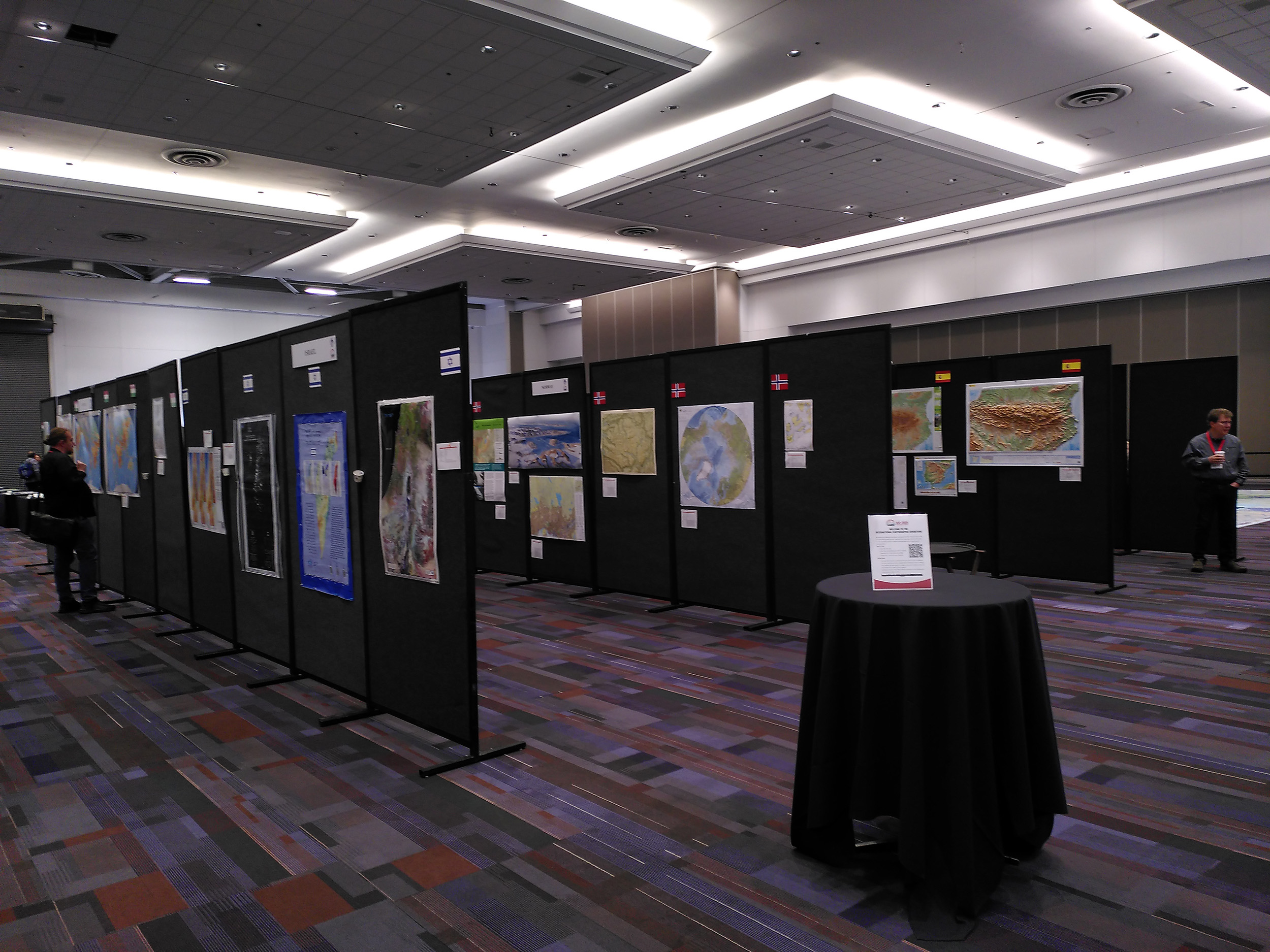
Map exhibition at ICC. (Image: Lorenz Hurni)
We are also pleased that our compatriots and colleagues from swisstopo won a first prize at the international map exhibition for their project “Base Map” (Vector Tiles). This base map will be used in the future Atlas of Switzerland Web.
If you would like to learn more about the Atlas of Switzerland or meet the members of our team, we look forward to welcoming you at the following events:
- September 4–5: Symposium 100 Years Institute of Cartography and Geoinformation at ETH Zurich
- November 7–8 : DialoGéo in Biel
- November 13: Journée romande de la géoinformation in Lausanne
Of course, we will also continue to keep you updated on the developments of the Atlas of Switzerland on our website and social media channels.