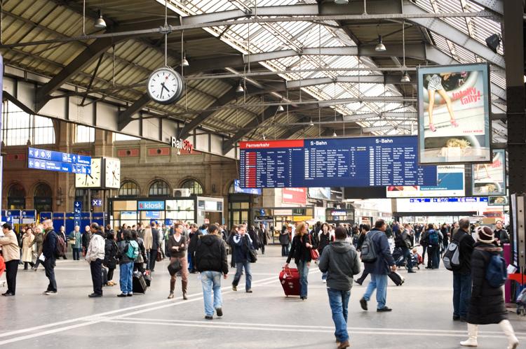
Volume journalier moyen des mouvements de passagers dans les gares Monday 22 April 2024 / Luca Gaia / Pas de commentaire
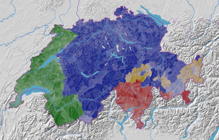
Part de la population résidente par langue principale dominante Monday 19 February 2024 / Luca Gaia / Pas de commentaire
Part des suffrages du Parti libéral radical (PLR.Les Libéraux-Radicaux) Friday 12 January 2024 / Luca Gaia / Pas de commentaire
Part des suffrages du Parti démocrate-chrétien (PDC) Friday 12 January 2024 / Luca Gaia / Pas de commentaire
Part des suffrages du Parti bourgeois-démocratique (PBD) Friday 12 January 2024 / Luca Gaia / Pas de commentaire
Part des suffrages des petits partis de droite (DS, UDF, PSL, Lega, MCR) Friday 12 January 2024 / Luca Gaia / Pas de commentaire