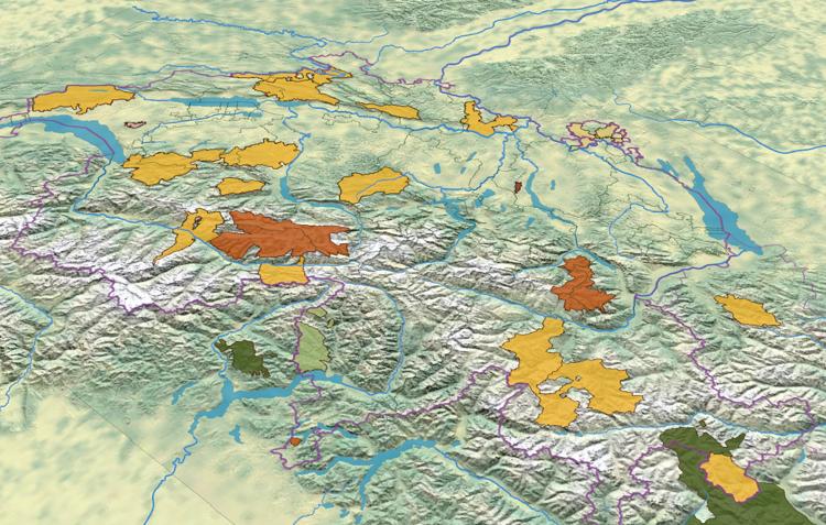
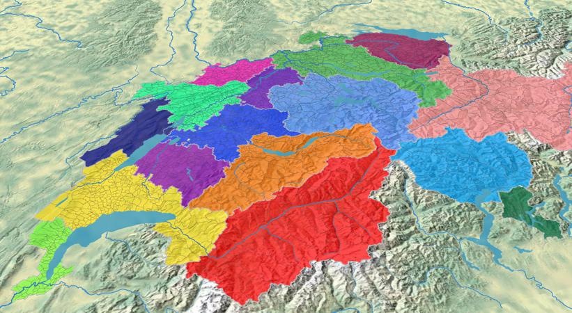
Parchi nazionale, patrimonio naturale dell’UNESCO, parchi naturale periurbane e parchi naturale regionale 11 February 2025 / Luca Gaia / Nessun Commento
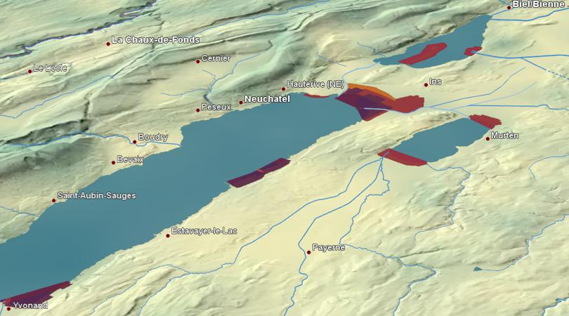
Riserve d’uccelli acquatici e migratori d’importanza nazionale (ORUAM) 27 October 2023 / Luca Gaia / Nessun Commento
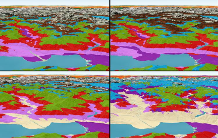
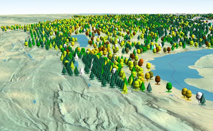
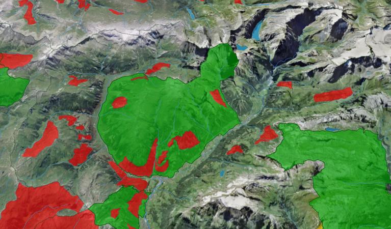
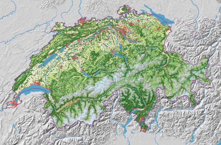
Fasce altitudinali forestali e loro variazione con il cambiamento climatico 12 April 2023 / Luca Gaia / Nessun Commento
Zone di tranquillità e siti di protezione della fauna selvatica 8 June 2022 / adsadmin / Nessun Commento