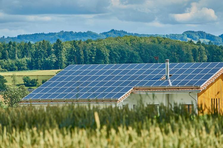
Produzione di elettricità solare: superficie di tetti utilizzata 30 August 2022 / adsadmin / Nessun Commento
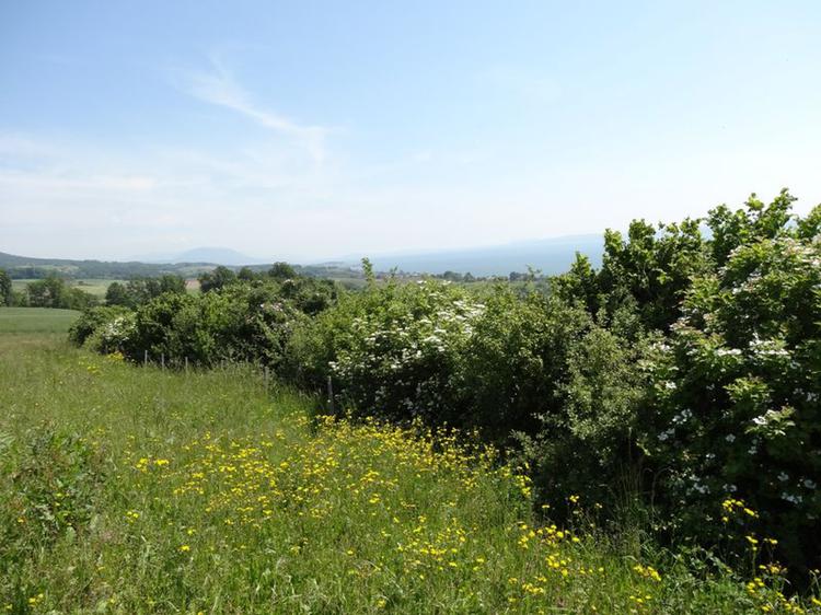
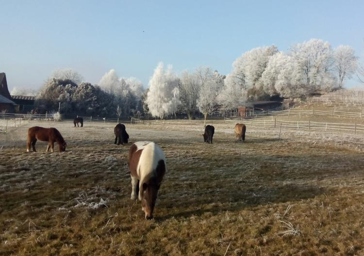
Quota di altre superfici agricole utili sul totale della superficie agricola utile 8 April 2022 / adsadmin / Nessun Commento
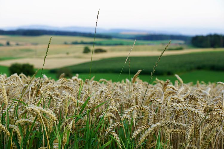
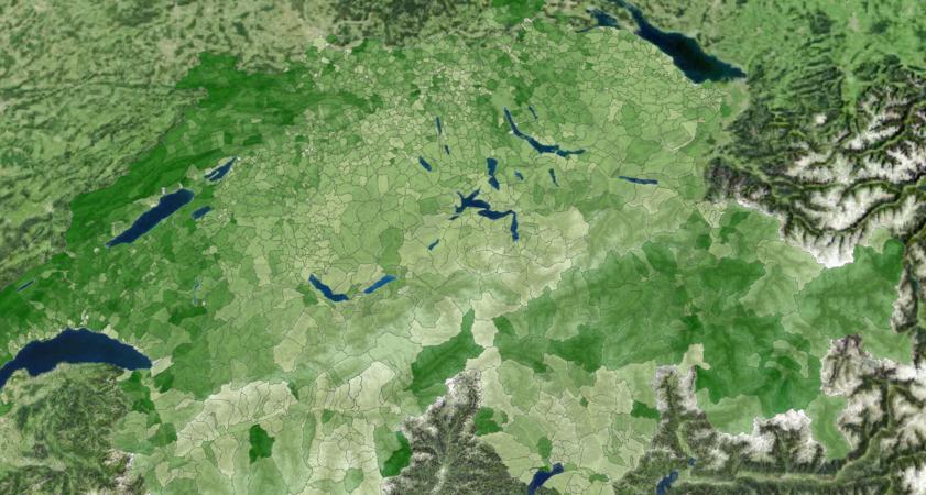
Quota di superfici coltive aperte sul totale della superficie agricola utile 8 April 2022 / adsadmin / Nessun Commento
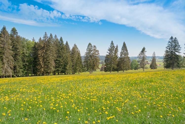
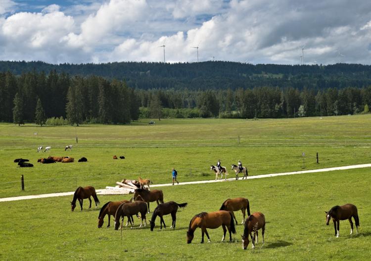
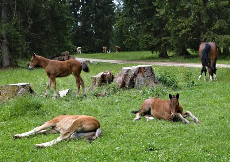
Quota di superfici inerbite sul totale della superficie agricola utile 8 April 2022 / adsadmin / Nessun Commento