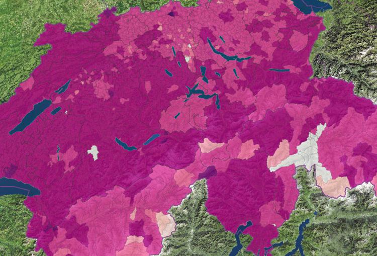
Share of the resident population with dominant language Monday February 19th, 2024 / Luca Gaia / No Comments
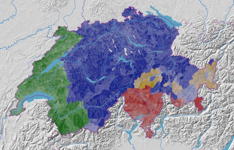
Percentage of votes for the Radical Democrats (FDP.The Liberals) Friday January 12th, 2024 / Luca Gaia / No Comments
Percentage of votes for the Christian Democrats (CVP) Friday January 12th, 2024 / Luca Gaia / No Comments
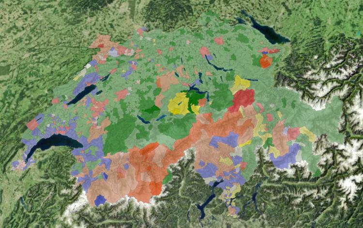
Percentage of votes for the Conservative Democrats (BDP) Friday January 12th, 2024 / Luca Gaia / No Comments
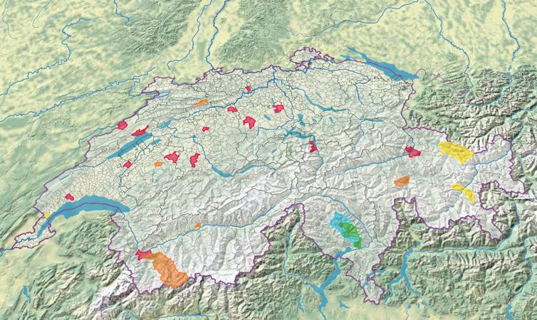
Percentage of votes for small right-wing parties (SD, EDU, FPS, Lega, MCR) Friday January 12th, 2024 / Luca Gaia / No Comments
Percentage of votes for small centre parties (LdU, EVP, CSP) Friday January 12th, 2024 / Luca Gaia / No Comments