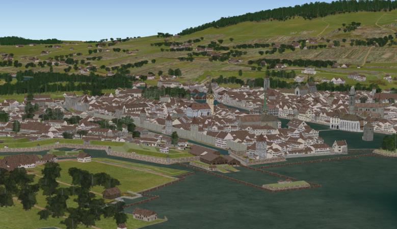
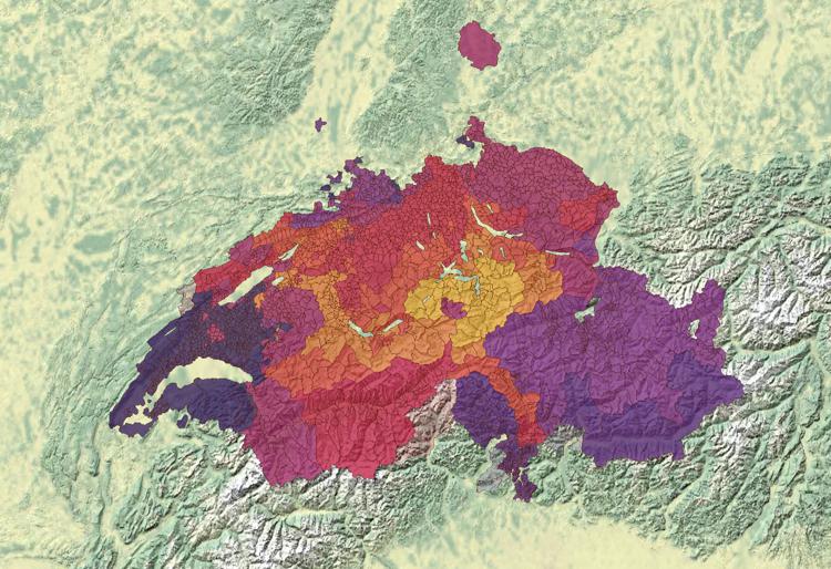
Evolution historique de la population des communes suisses (1200-1850) Wednesday 15 March 2023 / adsadmin / Pas de commentaire
Évolution du territoire de la Confédération suisse, depuis 1291 Thursday 9 February 2023 / adsadmin / Pas de commentaire
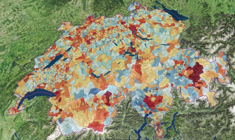
Développement de la population : recensements 1850–2000 Tuesday 19 July 2022 / adsadmin / Pas de commentaire
Établissements dans les activités financières (1995–2008) Tuesday 12 July 2022 / adsadmin / Pas de commentaire
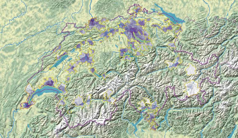
Agglomérations: densité de la population (1930-2000) Friday 8 April 2022 / adsadmin / Pas de commentaire
Emplois dans l’industrie de l’habillement (1995–2008) Friday 8 April 2022 / adsadmin / Pas de commentaire