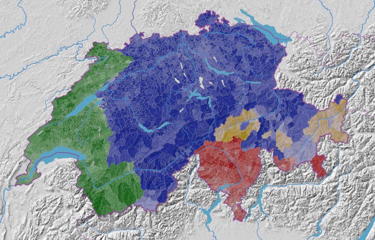
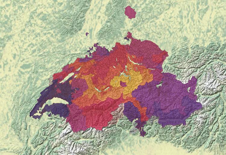
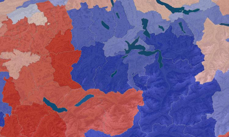
Part de la population résidente par langue principale dominante Monday 19 February 2024 / Luca Gaia / Pas de commentaire
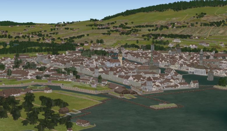
Evolution historique de la population des communes suisses (1200-1850) Wednesday 15 March 2023 / adsadmin / Pas de commentaire
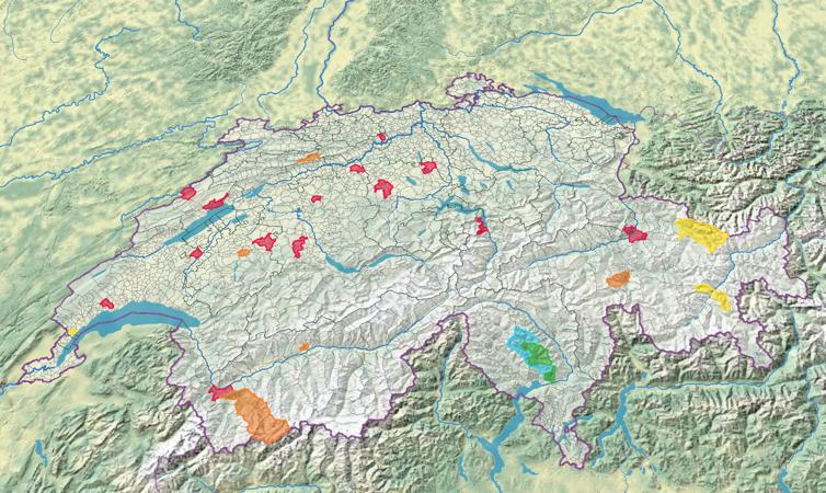
Part de la population résidante de confession catholique romaine Tuesday 7 March 2023 / adsadmin / Pas de commentaire
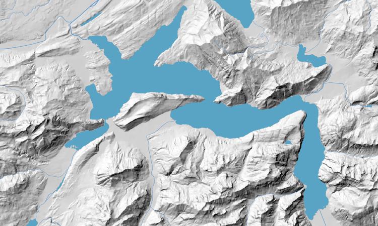
Évolution du territoire de la Confédération suisse, depuis 1291 Thursday 9 February 2023 / adsadmin / Pas de commentaire
Part de la population résidante par confession dominante Thursday 2 February 2023 / adsadmin / Pas de commentaire