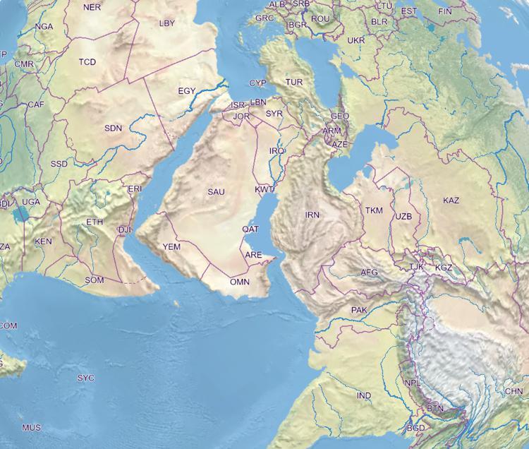
Atlas of Switzerland - Logo

Menu

Skip to content
  • Home
  • News
  • Maps
  • Portfolio
  • Publications
  • Download
  • en
    • Deutsch
    • Français
    • Italiano
    • English

Labeling: countries

Labeling: countries

Friday April 8th, 2022 / Raimund Schnürer / No Comments

Basemap

View map in the atlas

Countries

Tags: Basemaps, Labels
Spatial extent: World
Time: 2021

Previous Post: Mean annual evaporation per balance basin (1973–1992)
Next Post: Agglomerations: population density (1930-2000)
© 2023 Atlas of Switzerland | Institute of Cartography and Geoinformation, ETH Zurich | Contact | Status | Instagram | Twitter | YouTube