Territorial development of the Swiss Confederacy, since 1291 Thursday February 9th, 2023 / adsadmin / No Comments
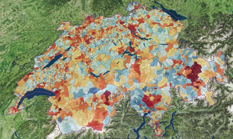
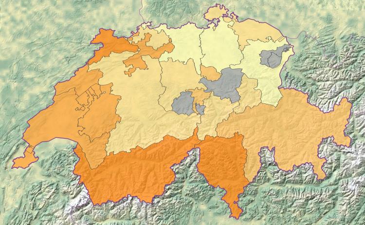
Scenarios for population development in Switzerland 2025-2055 Monday June 30th, 2025 / Andreas Neumann / No Comments
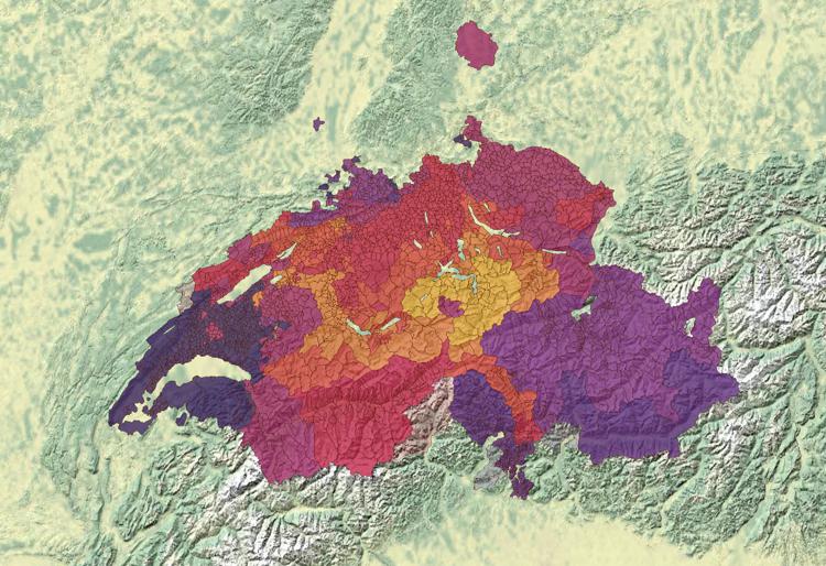
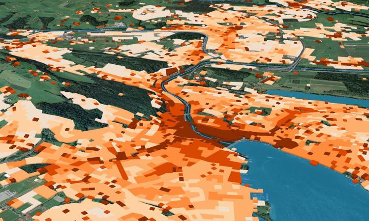
Popular initiative «Stop urban sprawl – for sustainable urban development» Friday April 8th, 2022 / adsadmin / No Comments
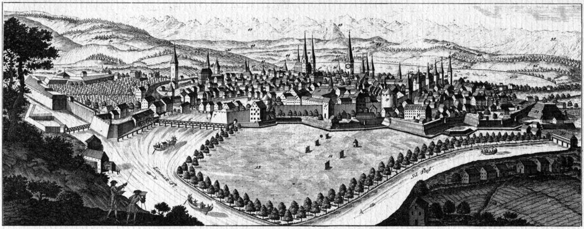
Structure of the Swiss Confederacy in the 18th century Thursday February 9th, 2023 / adsadmin / No Comments
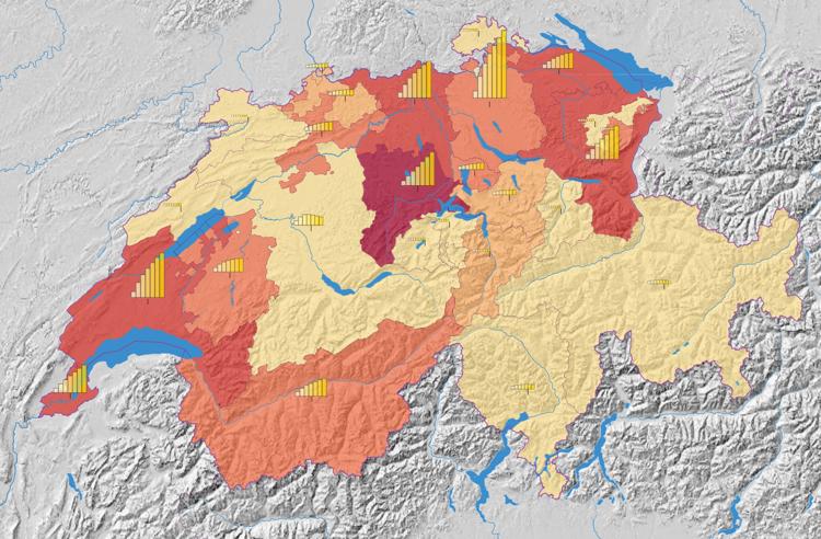
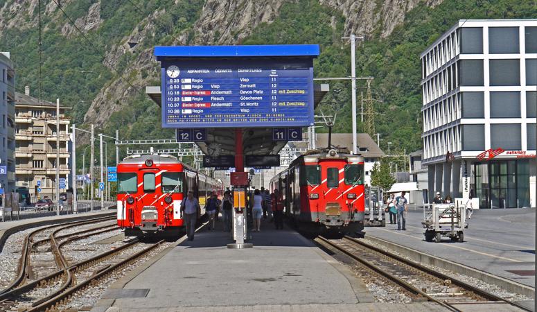
Average daily passenger numbers on the rail network Wednesday March 13th, 2024 / Luca Gaia / No Comments