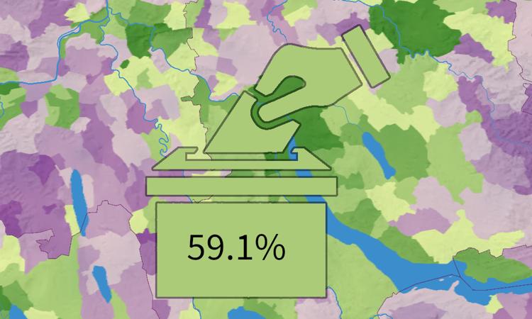
Referendum «Bundesgesetz über die Ziele im Klimaschutz, die Innovation und die Stärkung der Energiesicherheit (KlG)» Monday, der 5. May 2025 / Luca Gaia / Keine Kommentare
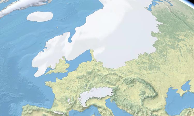
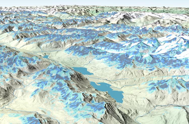
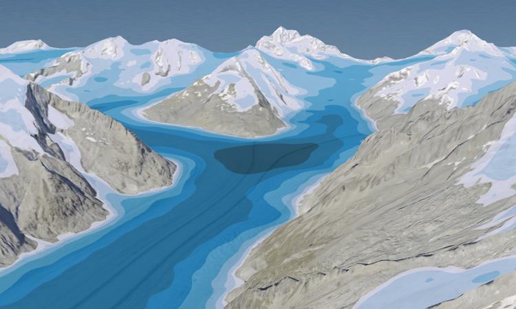
Gletscherausdehnung des letzten eiszeitlichen Maximums (Würm) in Europa Tuesday, der 30. May 2023 / Luca Gaia / Keine Kommentare
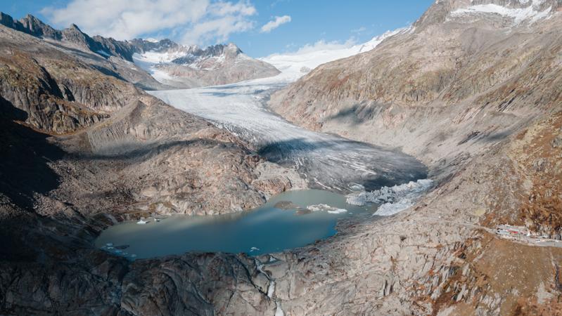
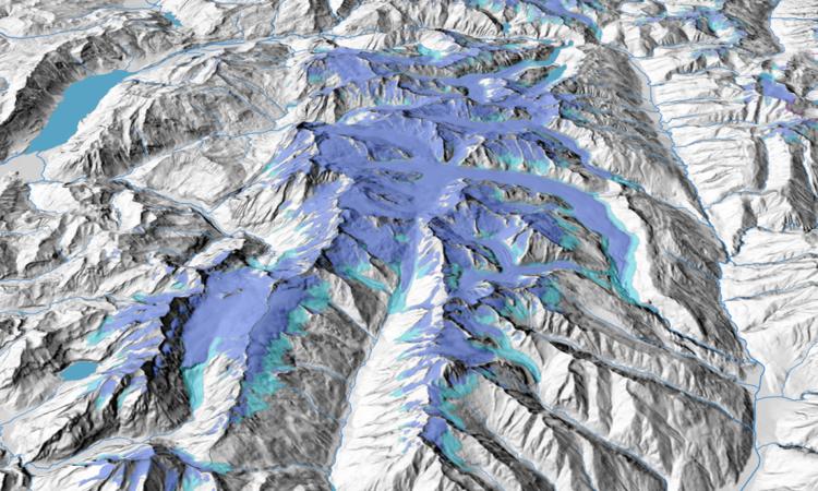
Gletscherstände seit dem 19. Jahrhundert (1850/1973/2010/2016) Tuesday, der 28. February 2023 / adsadmin / Keine Kommentare
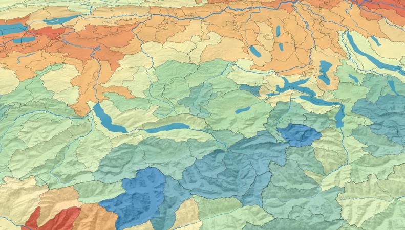
Mittlerer jährlicher Niederschlag pro Bilanzierungsgebiet (1981–2010) Wednesday, der 15. February 2023 / adsadmin / Keine Kommentare
Referendum «Bundesgesetz über die Verminderung von Treibhausgasemissionen» Friday, der 8. April 2022 / adsadmin / Keine Kommentare