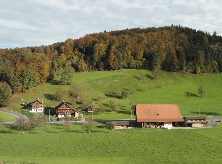
Mittlerer Pferdebestand pro Pferdehalter Friday, der 20. June 2025 / Andreas Neumann / Keine Kommentare
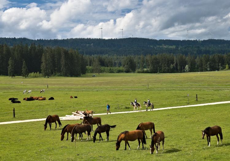
Anteil Landwirtschaftsbetriebe mit Pferden Friday, der 20. June 2025 / Andreas Neumann / Keine Kommentare
Strompreise: Gewerbe- und Industriebetriebe Monday, der 28. April 2025 / Luca Gaia / Keine Kommentare
Durchschnittliches tägliches Passagieraufkommen an Bahnhöfen Monday, der 22. April 2024 / Luca Gaia / Keine Kommentare