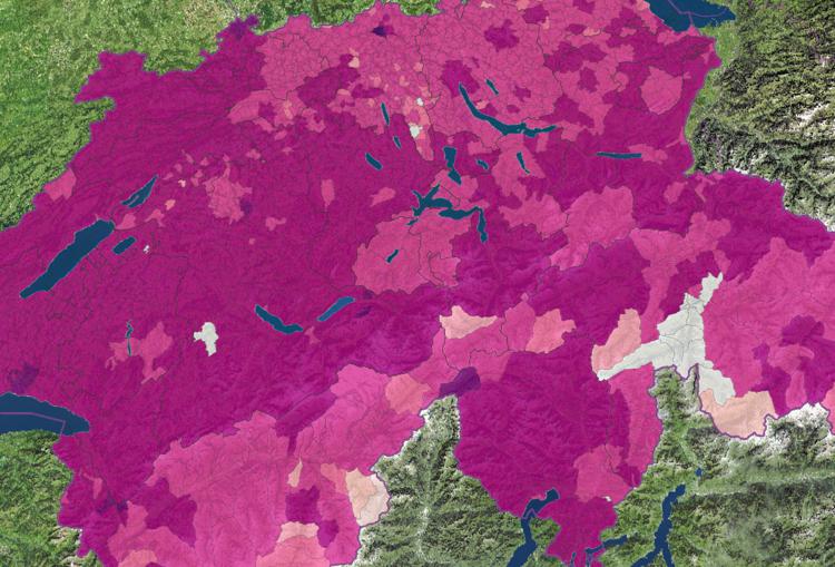
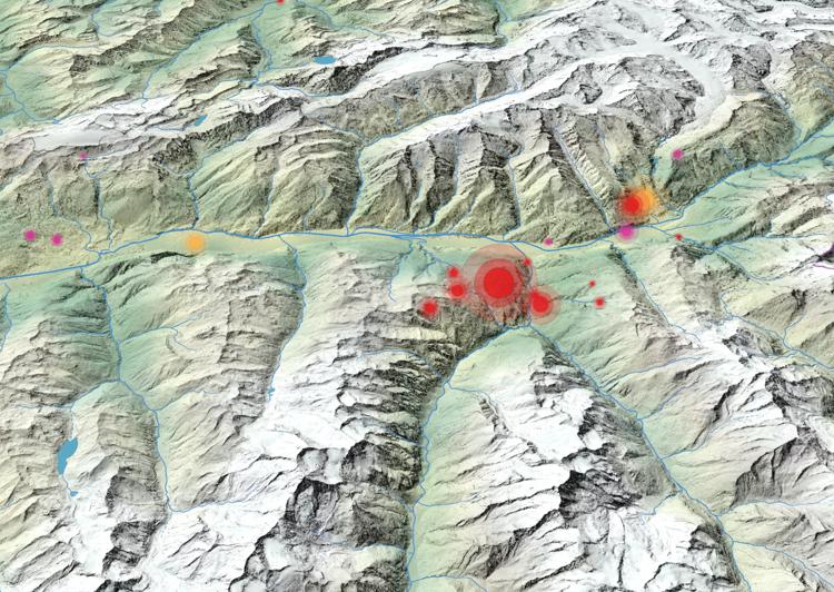
Prezzi dell’elettricità: aziende commerciali e industriali 28 April 2025 / Luca Gaia / Nessun Commento
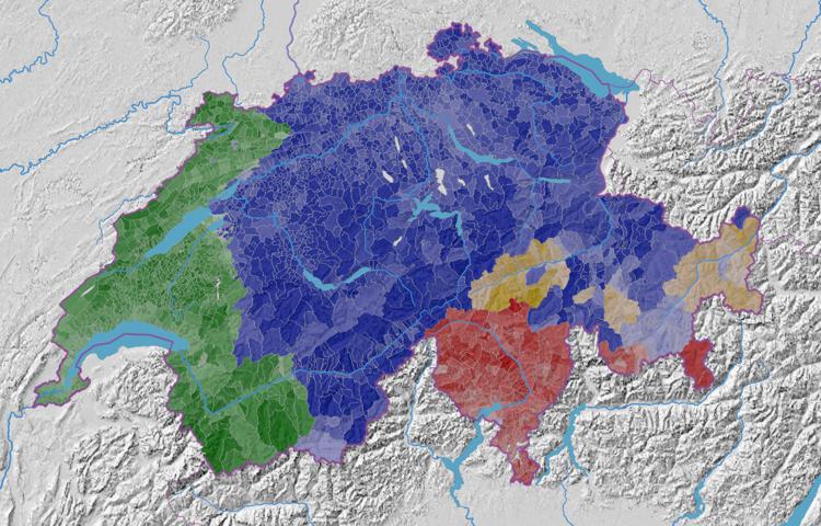
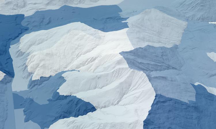
Quota di popolazione residente con lingua principale predominante 19 February 2024 / Luca Gaia / Nessun Commento
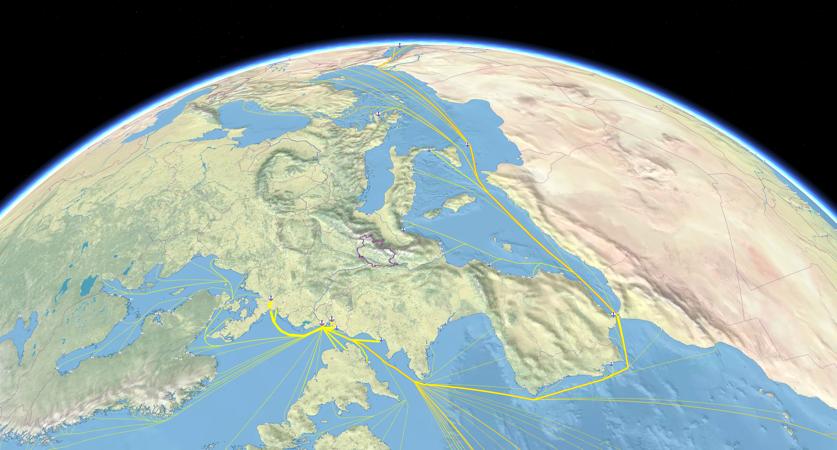
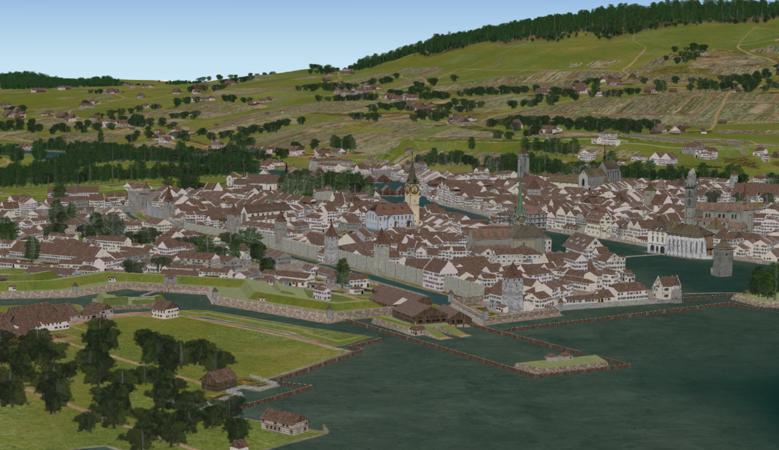
Sviluppo storico della popolazione dei comuni svizzeri (1200-1850) 15 March 2023 / adsadmin / Nessun Commento
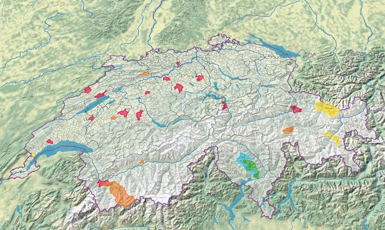
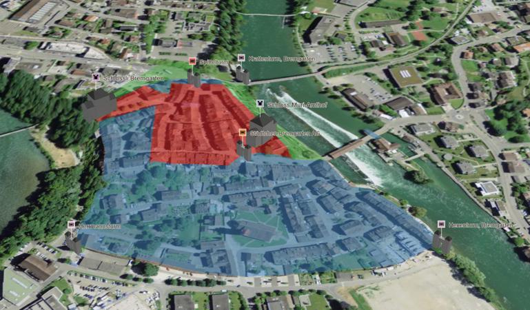
Castelli e residenze signorili in Svizzera, per periodo di costruzione 9 February 2023 / adsadmin / Nessun Commento