Atlas of Switzerland - Logo

Menu

Skip to content
  • Home
  • News
  • Maps
  • Portfolio
  • Publications
  • Download
  • en
    • Deutsch
    • Français
    • Italiano
    • English

Category: Maps

29 maps found

Population development: Censuses 1850–2000

Tuesday July 19th, 2022 / adsadmin / No Comments

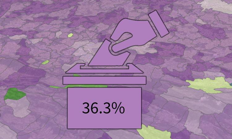
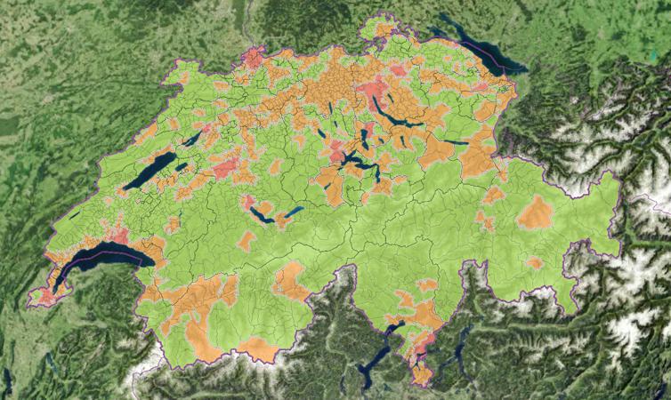
Popular initiative «Stop urban sprawl – for sustainable urban development»

Friday April 8th, 2022 / adsadmin / No Comments

Spatial planning regions

Tuesday July 26th, 2022 / adsadmin / No Comments

Mountain regions

Tuesday July 26th, 2022 / adsadmin / No Comments

Large labour market areas

Tuesday July 26th, 2022 / adsadmin / No Comments

Space with urban character

Tuesday July 26th, 2022 / adsadmin / No Comments

Settlement image and structure

Tuesday April 26th, 2022 / adsadmin / No Comments

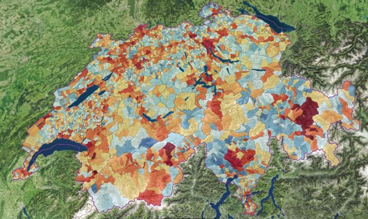
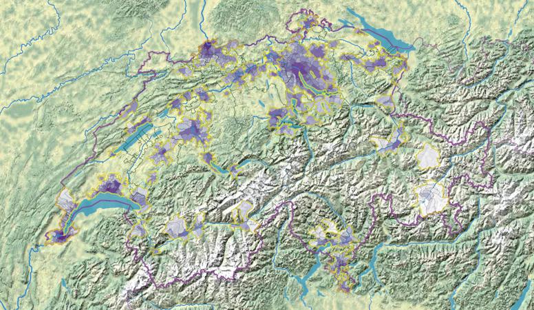
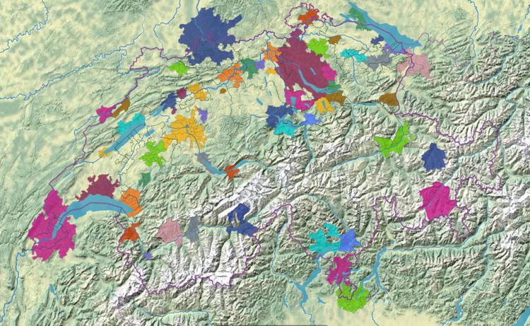
Agglomerations: population density (1930-2000)

Friday April 8th, 2022 / adsadmin / No Comments

Agglomerations of Switzerland (1930 – 2000)

Friday April 8th, 2022 / adsadmin / No Comments

Degree of urbanisation of the communes

Friday April 8th, 2022 / adsadmin / No Comments

Post navigation

Older posts
© 2025 Atlas of Switzerland | Contact | About us | Imprint | Status | Instagram | Twitter | YouTube